FROM COMMERCE TO CONTROL: DUAL USE PORTS AND MILITARYCIVIL FUSION
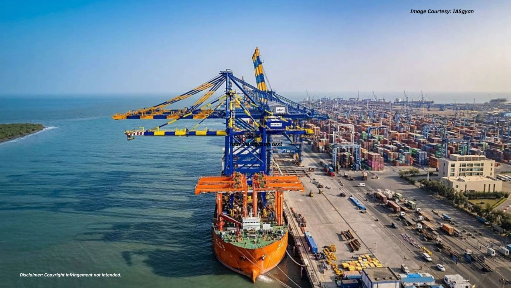
Icon-download Introduction Rise of China as a maritime great power, fuelled by enormous infrastructure projects along the African littoral, represents a fundamental shift in the great power rivalry dynamics in the Indian Ocean Region (IOR). These investments, often undertaken in the framework of the Belt and Road Initiative (BRI), are more than just commercial ventures, […]
Using GIS and OSINT to analyse India, Myanmar Border
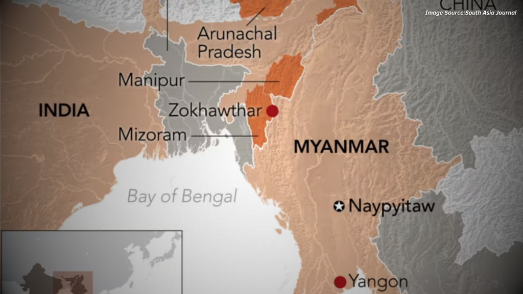
Icon-download Introduction The India–Myanmar border poses certain challenges to boundary security. It passes through difficult terrain, diverse ethnic communities, and resilient insurgent networks. Recent decisions taken by the Indian government, including termination of the Free Movement Regime (FMR) and plans for a full border fence, reflect this. This article includes GIS analysis and open-source information […]